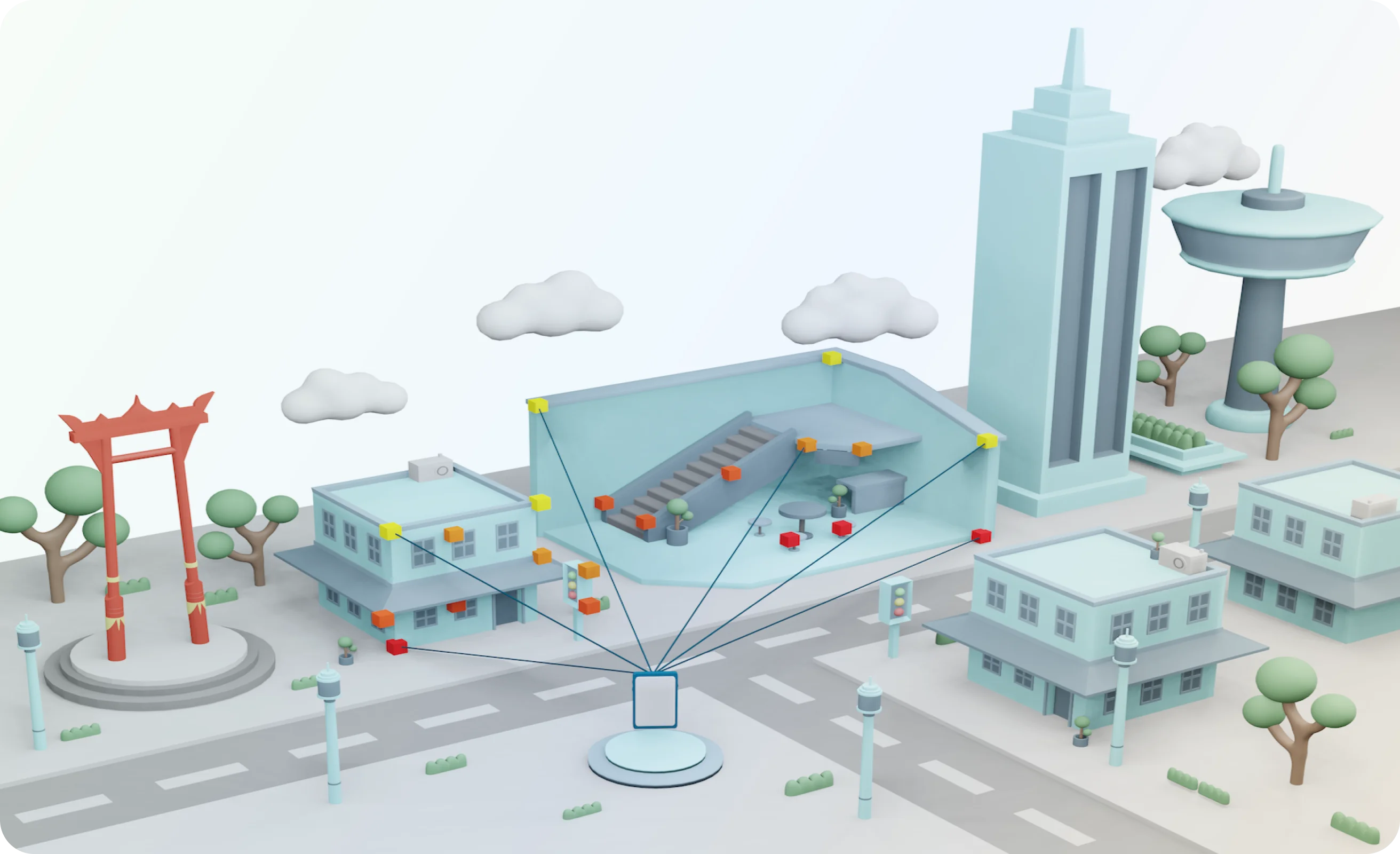
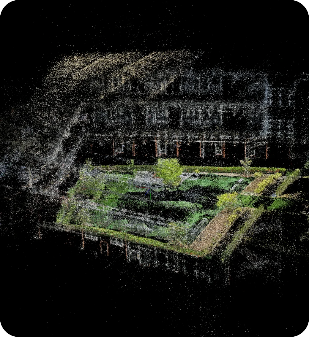
Every Graffity experience runs on the same
four-stage Spatial AI pipeline. A space is recorded once as ordinary video, reconstructed by Vision AI
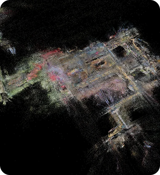
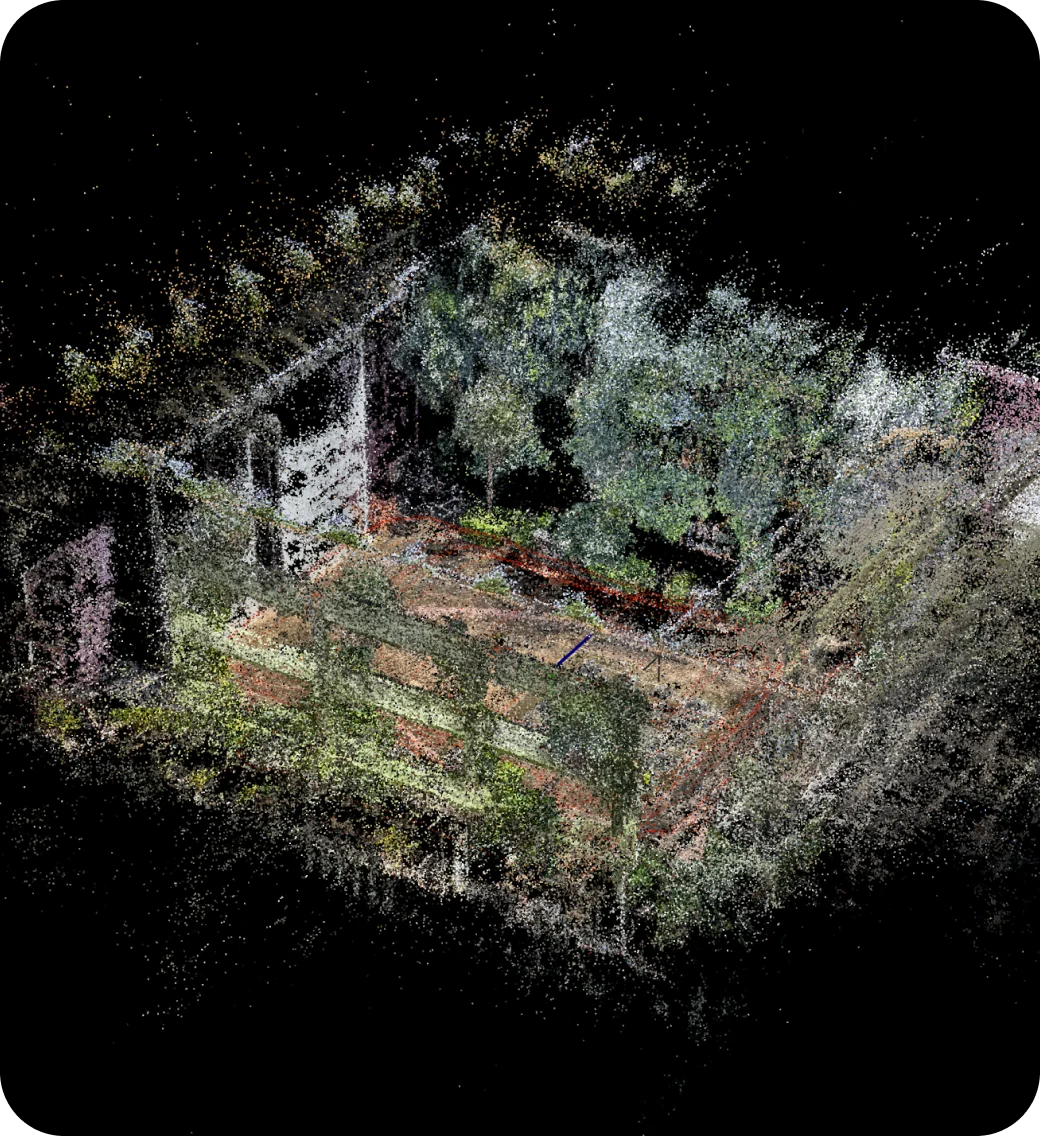
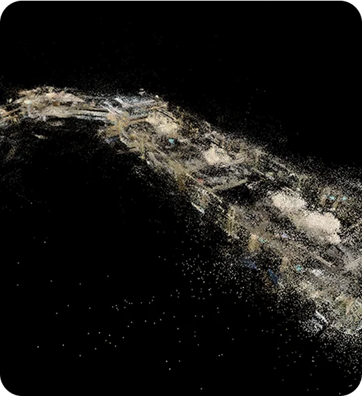
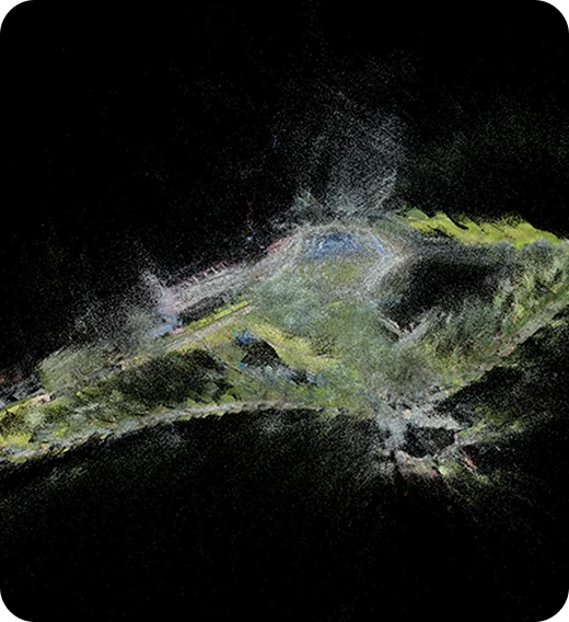
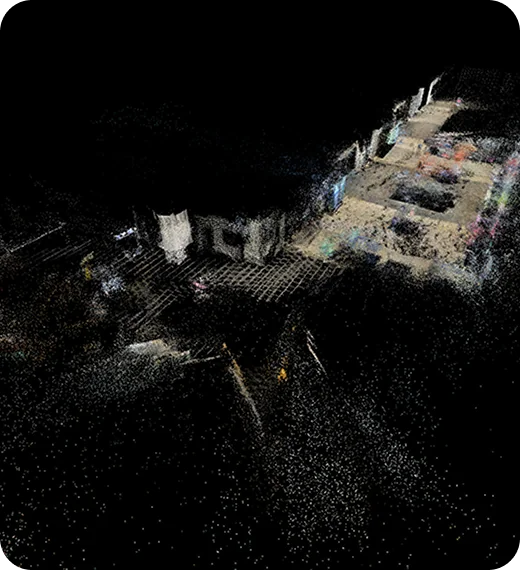
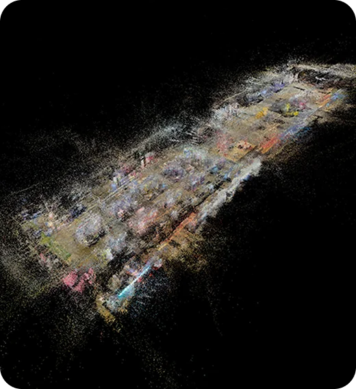
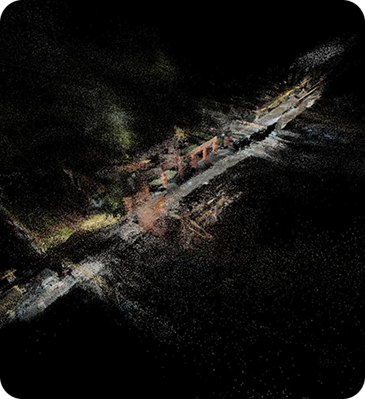
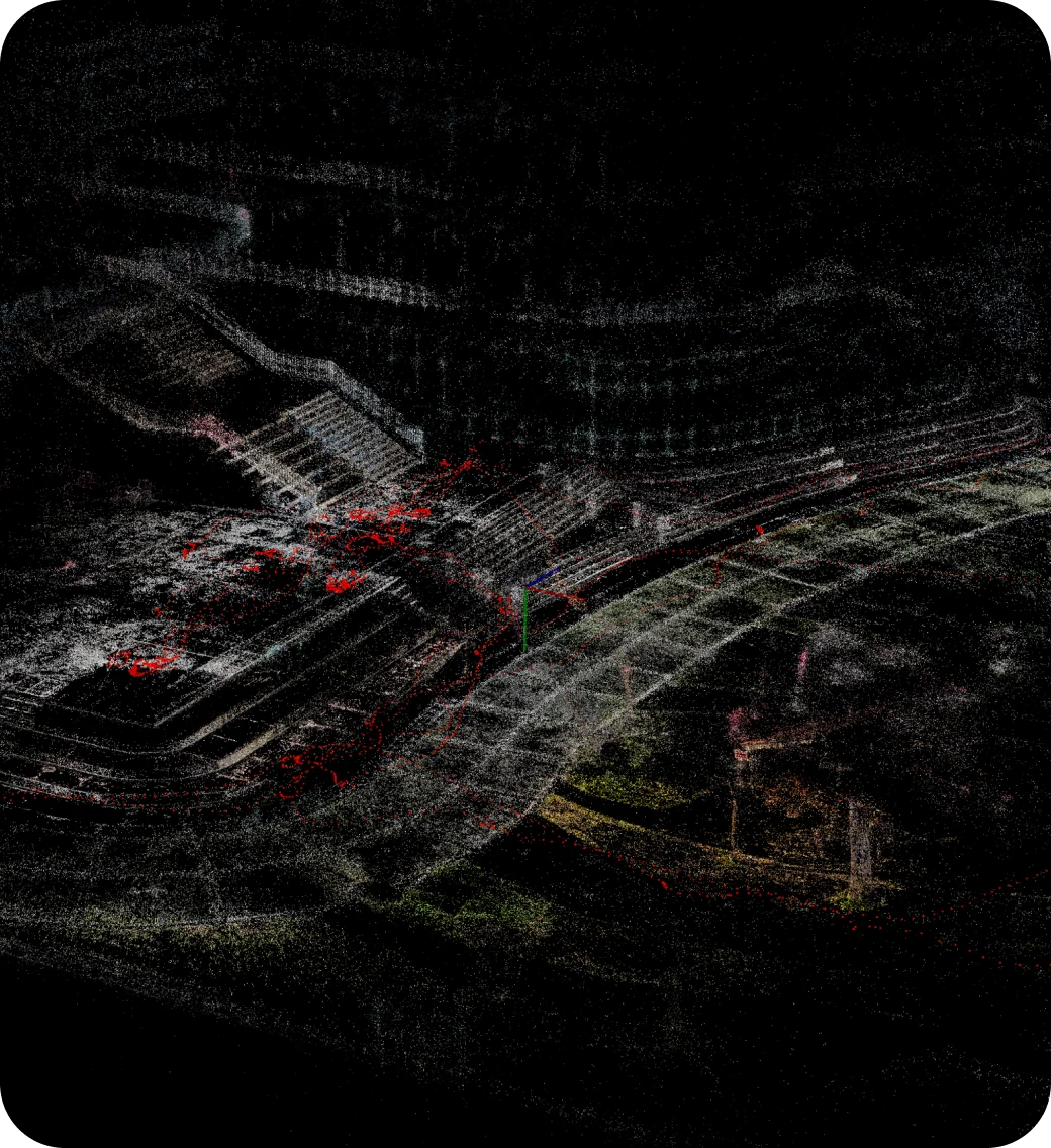
into a 3D PointCloud, annotated with content, and then served back to devices that ask the Visual
Positioning System where they are. No GPS, no beacons, no QR markers on walls and no per-site hardware
install.
1. Capture
An operator walks the space with
Graffity Scanner on a phone, panning the camera across
surfaces and landmarks, then uploads the recording. Capture is deliberately the cheapest step in the
chain: it needs a commodity handset and a walkthrough, not a survey crew or a tripod-mounted rig.
2. Reconstruction
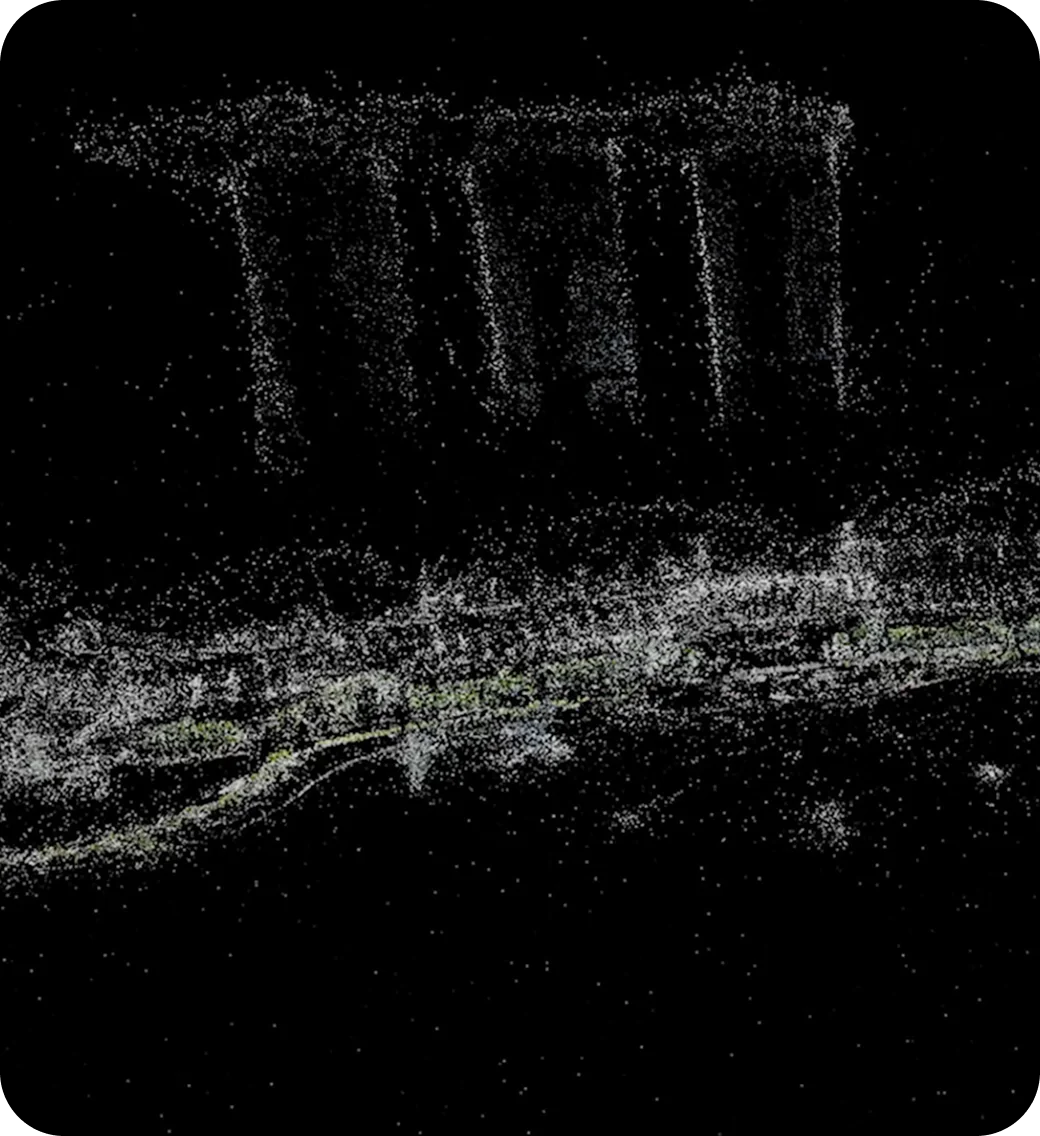
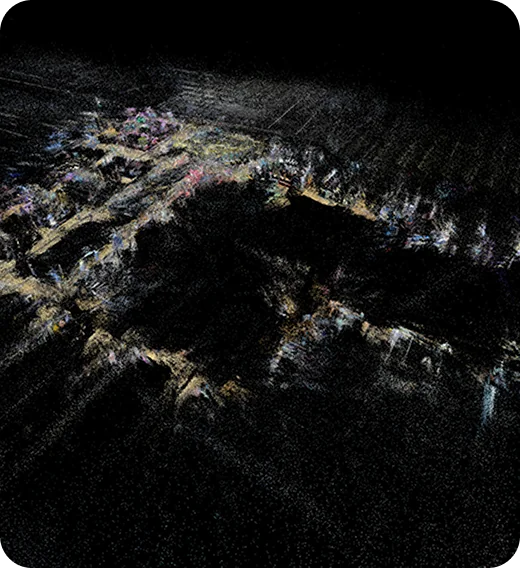
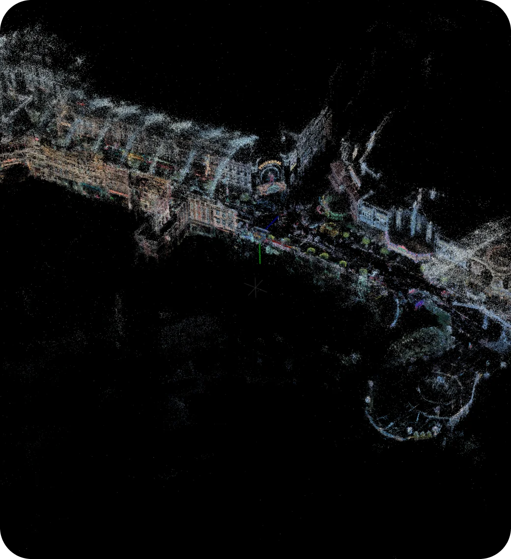
The uploaded frames go to our ML cluster, which
reconstructs them into a dense 3D PointCloud of the venue. Because the pipeline is production-ready
rather than a per-site manual process, coverage grows by feeding it more scan footage — adding a
new mall or campus is a scanning job, not an engineering project.
3. Authoring
The finished PointCloud opens in
Graffity Console, where creators place points of interest and
anchors directly onto the 3D geometry, manage projects and collaborate as a team. Work in progress can
be checked on site with
Graffity Viewer by scanning a QR code from
Console, so designs are validated in the real space before anything is published.
4. Localization
At runtime, the Visual Positioning System matches
what the device camera sees against the stored PointCloud and returns its pose in six degrees of
freedom. Requests stream over HTTP/2, so the repeated localization calls of a live session share one
connection instead of queueing. Routes, labels and content appear exactly where they were placed. The
same centimeter-level positioning is what robots and autonomous machines need to find their way, which
is why we are building this stack toward Physical AI.